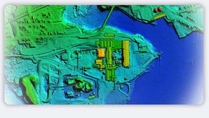

LiDAR systems use a laser beam, which is reflected back from whatever it hits (excepting deep water) to a sensor that records the time interval from emission to reception. Consequently, in a forest, data are typically received from the tops of trees, branches and leaves all the way down to where signals hit the ground. From the strength and return times of the signals, the top and shape of the tree canopy can be determined. The processing of this data requires skill to accurately determine which data reflects which target. Lasermap has trained personnel with years of experience in applying this data to meet the needs of the Forestry industry.
For forestry applications, Lasermap uses sophisticated filtering algorithms to separate important tree and canopy return information. With the help of some ground truthing, volumes of timber can then be calculated, providing a speedy way of evaluating timber resources over a wide area. Lasermap also works closely with university consultants to apply unique industry specific software tools to further aid our clients.
On any given project, besides providing 3-dimensional information from processing LiDAR data, LasermapUSA can also provide color orthophotography to provide additional data to help our clients monitor the status of forests and, in particular, tree health.
|

