
AERIAL PHOTOGRAPHY
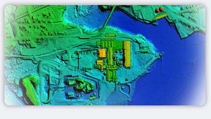
High resolution digital aerial photography is provided by LasermapUSA as needed for any project. Digital photography can be delivered as a stand-alone project or can be collected along with the collection of LiDAR. The photo images can then be digitally rectified using the LiDAR data to produce accurate true color, black and white, or near infra-red (NIR) digital orthophotos. Using near infra-red data, an aerial record can be made showing condition of structures, vegetation types and growth, changes and "hot spots" or problem areas within the project.
LiDAR, along with digital imagery, is an ideal mix of technology for generating rapid and accurate airborne surveys for many different project applications.
To meet the needs of projects of all sizes and specifications, Lasermap has available both large and medium format digital camera systems for aerial photography. Lasermap also has equipment and processing capabilities to meet the needs of those clients wanting traditional non-digital aerial photography.
SATELLITE IMAGERY
LasermapUSA provides its clients with the latest 1-meter and ½ meter high-resolution digital satellite imagery from the world’s largest commercial satellite companies. These images can be orthorectified and delivered for use in your clients GIS systems. The satellite product levels are designed to meet increasing demands for imagery used in applications such as: Broad Area Mapping, Infrastructure Management, Planning, Disaster Response, Situational Awareness, Location Services, Internet Mapping, Visualization and Simulation Modeling.
|

